Vršič Pass driving guide: 50 hairpins, one extraordinary road
From Ljubljana: best of the Julian Alps
When is Vršič Pass open?
Typically late May to November, depending on snowfall. The exact opening date varies year to year — check DRSI (Slovenian road authority) before planning. The pass is closed to vehicles from approximately November to late May.
One of the Alps’ great mountain roads — and how to drive it properly
The Vršič Pass (1,611 m) crosses the Julian Alps between Kranjska Gora to the north and the Trenta Valley to the south.
| Distance | ~12 km Kranjska Gora to summit, ~12 km summit to Trenta |
| Summit | 1,611 m, 50 numbered hairpins |
| Open | Late May–November (snow-dependent) |
| Time needed | 45–60 min drive; 3–4 hours with stops |
| Fuel | Fill up in Kranjska Gora — none on the pass or in Trenta |
This is not just a scenic drive. It is the route between two fundamentally different landscapes: the orderly alpine valleys around Kranjska Gora and the wilder, more dramatic Soča basin. Driving Vršič without stopping would be a waste; this guide covers all the stops worth making.
What makes Vršič worth the detour
For many visitors coming from the Bled and Bohinj area, the Vršič Pass seems like an optional add-on to a Julian Alps trip. It is not. The pass is the axis on which the entire northwest of Slovenia pivots — on one side the well-organised Alpine valleys, on the other the wilder Soča basin. The experience of crossing it changes how you understand both halves. The 24 numbered hairpins on the north side are a genuine engineering achievement (and a human tragedy — see the history section below). The summit gives you the one place in Slovenia where you can see both the Austrian/Italian border ranges to the north and the Soča Valley to the south in a single panorama.
If you are in Slovenia for fewer than five days and have to choose between driving the Vršič Pass and staying near Bled, choose the pass. The Bled scenery is beautiful but static; Vršič is a journey.
What makes Vršič worth the detour — the practical argument
Without the Vršič Pass, you would have to drive 3–4 hours south via Idrija to get from Kranjska Gora to Bovec. With the pass, it’s 40 minutes. It is the direct connection between the two halves of the best of Slovenian alpine landscape, and it is itself remarkable — not merely a means to an end.
The road at a glance
Total distance: approximately 12 km from Kranjska Gora to the summit, and another 12 km from the summit to Trenta.
Road classification: the Vršič road is classified as a regional road (not a motorway), so the e-vignette is not required. It is toll-free. The road surface is asphalt throughout; the quality is good in summer but deteriorates slightly on the south side (Trenta approach) in late season.
Altitude at the summit: 1,611 m. This is high enough to experience the temperature drop clearly — plan on 8–12°C lower than Kranjska Gora on most summer days, and bring a jacket even for a brief walk at the summit.
The hairpins: the north side has tighter turns than the south. Most bends are numbered with stone markers — a tradition from the original construction. The odd-numbered bends are on the right (descending) side, even-numbered on the left.
Vehicle considerations: the road is paved, but the hairpins are tight. A standard car handles them fine; larger campervans and motorhomes often struggle. There is a maximum vehicle length restriction on some sections. Caravans and vehicles over a certain width are advised to check current restrictions before attempting the road.
Seasonal closure: the pass closes to vehicles from approximately November to late May. The exact dates depend on snowfall. In May and early October, check conditions with the Slovenian road authority (DRSI) before setting out — early-morning or late-evening ice can persist after the official opening date.
Key stops on the north side (Kranjska Gora to summit)
The Russian Chapel (Ruska kapelica, between hairpin 7 and 8): a small wooden Orthodox chapel built in 1916–17 by surviving Russian prisoners of war. It marks the site where a 1916 avalanche killed several hundred prisoners. The chapel has been rebuilt and is still tended. Even if you pass it quickly, it’s worth pausing — the history is a reminder of what this road cost to build.
Jasna Lake (below the pass, in Kranjska Gora): before you begin the hairpins, stop at Jasna Lake, 2 km south of Kranjska Gora. The turquoise glacial lake with views of Prisojnik (2,547 m) to the south is one of the most photogenic spots in the entire Julian Alps. There’s a car park, a small restaurant, and the famous Zlatorog goat statue at the water’s edge.
Erjavčeva Koča (hairpin 17): an alpine hut at around 1,500 m, open in summer. Good place for a coffee and to acclimatise to the altitude before the final push to the summit.
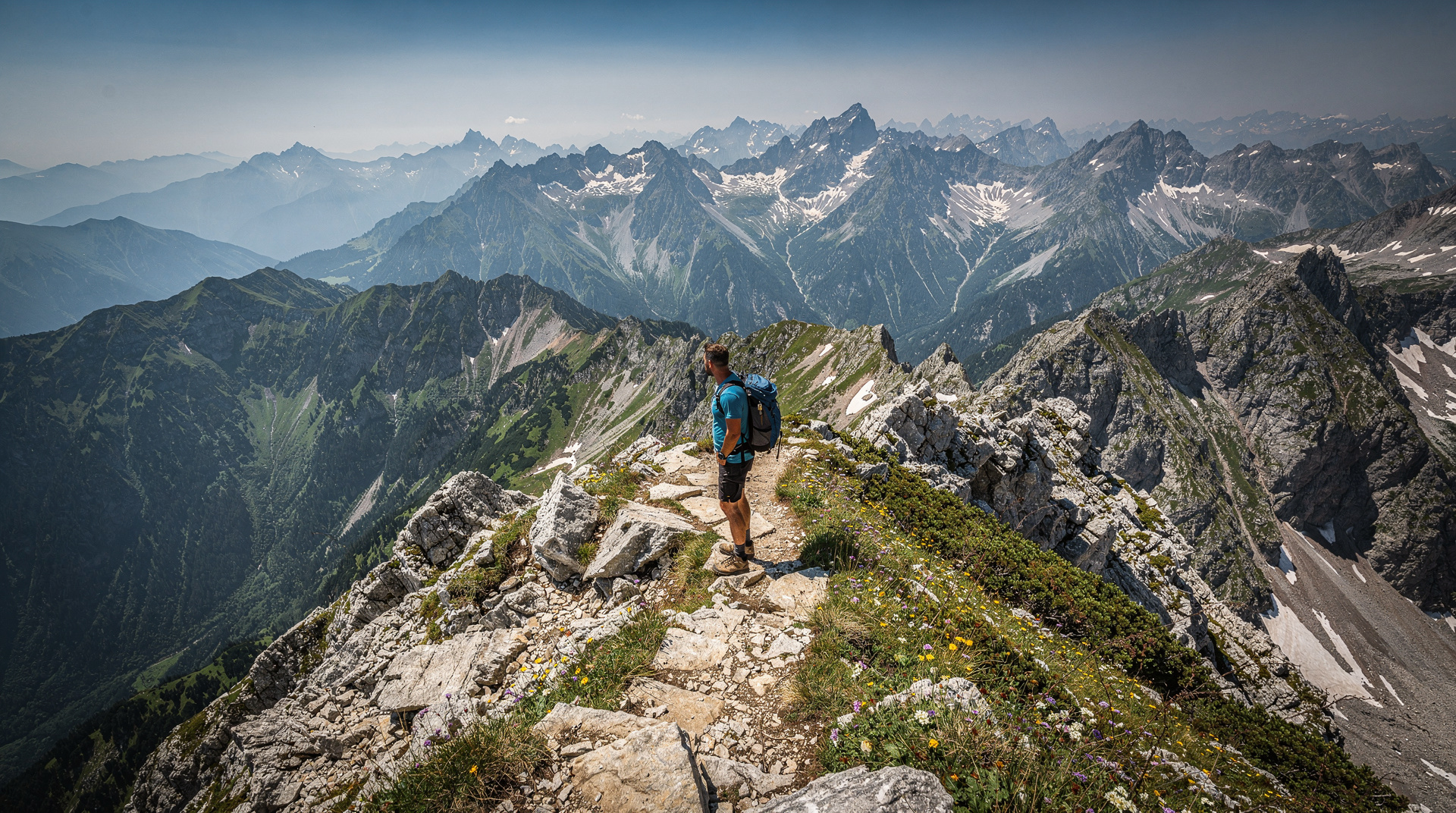
The summit (1,611 m): the highest point of the pass. There is a small car park, a mountain hut (Poštarska Koča), and panoramic views in both directions. On a clear day you can see Triglav to the south and the Karavanke range to the north. This is also the start of several hiking routes — including the Mojstrovka ridge walk, which gives the best aerial view of the entire pass.
Key stops on the south side (summit to Trenta)
Prisank viewpoint: a few hundred metres south of the summit car park, a short trail leads to a viewpoint across the Prisojnik massif. Worth the 10-minute detour.
Izvir Soče (source of the Soča River): approximately 8 km south of the summit, near the village of Trenta, a short trail (30 minutes return) leads to the source of the Soča — a cave from which the river emerges, already a startling shade of blue-green. This is the official start of the Soča Trail and one of the most beautiful spots in the valley.
Trenta Valley: the broad valley below the pass is the heart of the Triglav National Park’s western section. A visitor centre (Dom Trenta) offers a geological and cultural introduction to the park.
Bovec: 20 km south of Trenta, the town of Bovec is the main centre for adventure activities in the Soča Valley — rafting, kayaking, via-ferrata, and paragliding. See Bovec.
Wildlife on the pass
The Vršič Pass area is ecologically transitional — the north side is sub-alpine forest and meadow, the south side drops into the karst limestone of the Triglav National Park interior. Several species are worth watching for.
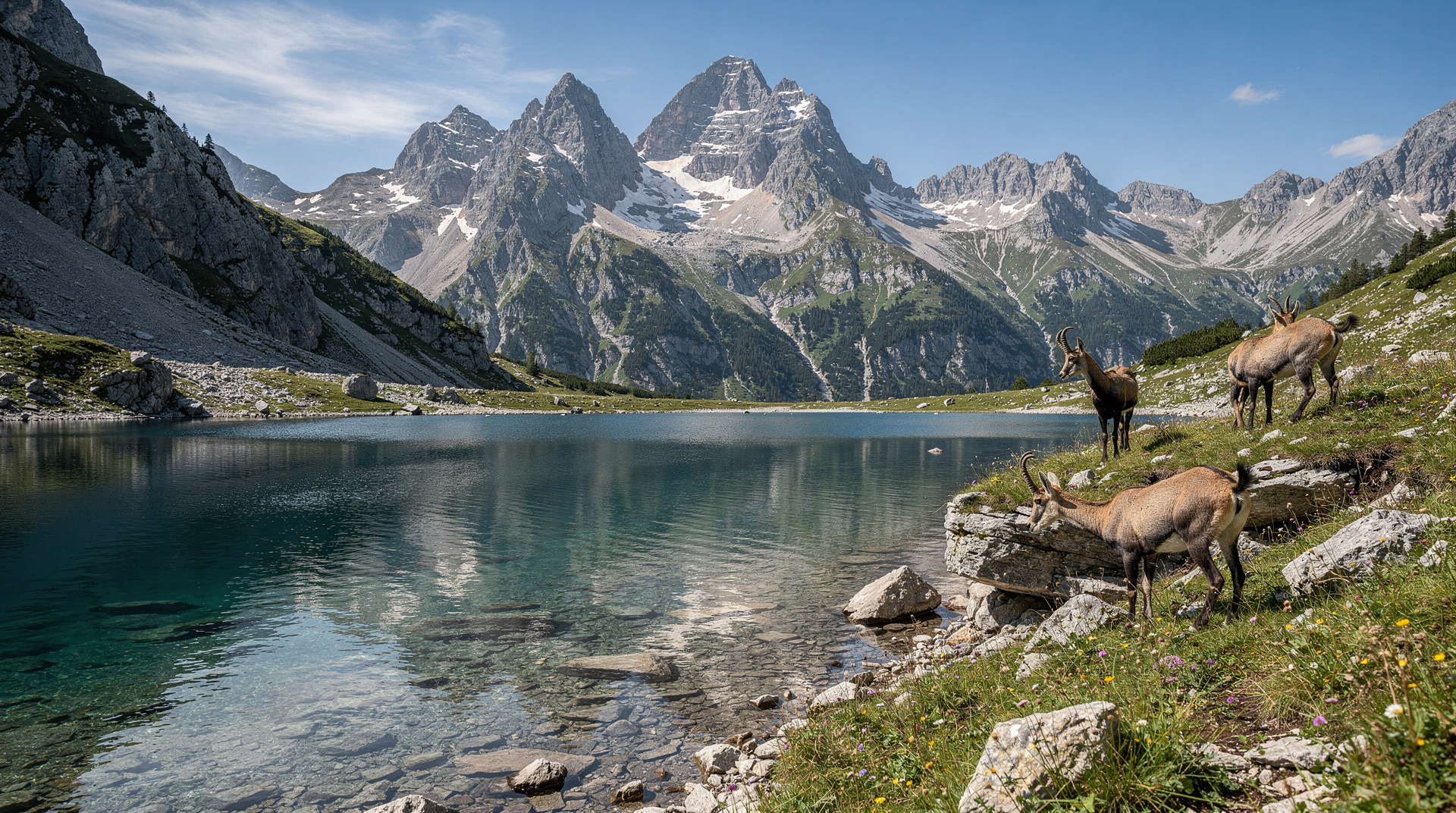
Chamois: the rocky upper slopes and ridgelines above the pass are prime chamois habitat. Early morning and late afternoon provide the best sightings — look for movement on the grey limestone slopes above the road. The Prisojnik ridge (east of the summit) regularly has small groups.
Alpine salamander (Salamandra atra): the all-black salamander is common on moist forest sections of the north approach, particularly after rain. Unlike the spotted salamander, which lays eggs in water, this species gives birth to live young — an adaptation to the cold, wet mountain environment. It is perfectly harmless and will often cross the road. Slow down if you see movement near puddles.
Griffon vulture: the column of thermals above the pass sometimes attracts griffon vultures soaring from the Italian colonies. These large birds — 2.6 m wingspan — are unmistakable overhead.
Marmot: the high meadows near the summit (above 1,500 m on both sides) have alpine marmot colonies. Their high-pitched warning whistle is often the first sign of their presence; the animals themselves are visible sunning on rocks above their burrows.
The Soča Valley: the real reason to cross the pass
The Vršič Pass is dramatic, but the Soča Valley is the destination. Once you descend the south side into Trenta and continue toward Bovec and Kobarid, the landscape becomes something entirely different from the northern alpine valleys. The Soča River is turquoise to the point of seeming artificially coloured — limestone-filtered snowmelt gives it a consistency and depth of colour that you won’t believe until you see it. The riverbed is white-grey limestone; the water above it shifts between aquamarine and emerald depending on the light.
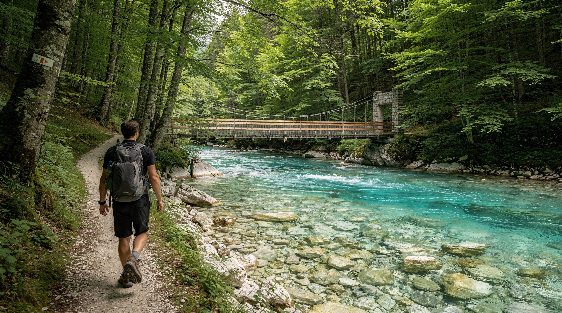
The valley is part of Triglav National Park for its entire length to Bovec. The main road (route 206) follows the river closely, and there are a dozen pull-offs where you can stop and walk to the riverbank.
Driving vs. guided tour
If you have a car and feel comfortable on mountain roads (steady nerves on tight hairpins, no fear of height), drive yourself — the flexibility is worth it, and the pass rewards stopping spontaneously when a viewpoint calls.
If you don’t have a car, or if you want someone to handle the navigation while you take in the scenery, guided day trips from Bled and Ljubljana are the practical alternative. Julian Alps and Trenta Valley tours from Bled cross Vršič and continue through the Soča Valley. The Best of Julian Alps tours via Kranjska Gora also cross the pass and cover most of the key stops. For a longer circuit, the Ljubljana–Soča–Kranjska Gora route combines both sides of the Alps in a single day.
Practical notes
Fuel: fill up in Kranjska Gora before the pass. There is no fuel on the pass or in Trenta. The nearest station south of the pass is in Bovec (24 km from the summit).
Parking at the summit: the summit car park is small. On peak summer weekends (July–August), it fills by mid-morning. Arriving before 9am or after 5pm avoids the worst of it.
Summer shuttle bus: a tourist minibus operates over Vršič in July and August, running from Kranjska Gora to Trenta and back. Check current schedules locally — useful if you want to hike a section of the pass one-way.
Photography: the north side gives the best upward views of the hairpins (photograph from below as you ascend). The summit gives a panorama in both directions. The Russian Chapel is best in morning light. The source of the Soča is best at midday when the light penetrates the cave.
Road conditions in early and late season: even after the official opening in late May, snow can remain on shaded sections of the road and on the surrounding meadows. Drive carefully and keep to the centre of the lane on the hairpins — oncoming traffic may be wider than expected.
The history of the road
The Vršič road was built between 1915 and 1916 by Russian prisoners of war captured on the Eastern Front and transported to Austrian-held Slovenia to work. Over 10,000 prisoners were held in the Kranjska Gora area. The road was strategically necessary for the Austrian supply lines to the Isonzo (Soča) Front, where the Italian and Austro-Hungarian armies were locked in bloody attrition battles.
On 8 March 1916, a catastrophic avalanche buried a convoy of prisoners and guards. Official figures record at least 300 dead, though the actual number is disputed and was likely higher. The victims were buried where they fell; the Russian Chapel at hairpin 8 was built by surviving prisoners in their memory. It remains an active place of remembrance — Orthodox priests from Russia and Slovenia regularly hold services here, and fresh flowers are often left at the chapel.
The road was extended and improved after the war; the current paved surface dates from the post-war reconstruction. The stone markers on each hairpin (the numbered bends) are original to the wartime construction. Driving the road with this history in mind changes its character entirely — what looks like an alpine scenic route was built on an extraordinary human cost.
Photography on the pass
The Vršič Pass offers several distinct photographic opportunities, each requiring different timing.
The hairpins from below: the most dramatic images of the hairpins themselves are shot from below — standing on a lower bend and looking up to see the zigzag road climbing the cliff above. This perspective is easiest to achieve on the south side (descending from the summit toward Trenta), where the road is more open. In morning light from the east, the road catches the sun while the valley is still in shadow.
The Russian Chapel: the chapel is surrounded by forest; dappled light through the trees makes it most photogenic in late morning (avoid direct midday overhead light). The best angle is from slightly above and to the side, showing the chapel with forest behind and the road in the foreground.
The summit panorama: the summit car park gives a 180° view with both sides of the Alps visible. Bring a wide-angle lens. The best light is at sunrise (east side of the Alps lit first) or at golden hour (3–4pm in summer on the western/Trenta side).
The source of the Soča: the cave from which the river emerges is a fixed-aperture landscape — the cave entrance is dark, the exterior bright. The shot requires either flash (intrusive and generally ineffective) or careful exposure blending. The best approach is to focus on the emerging stream rather than the cave interior, and to photograph in overcast light which balances the tones.
The pass in winter
The Vršič Pass is closed to vehicles from approximately November to late May, but it is accessible to ski tourers and snowshoers throughout the winter. The north side — the Kranjska Gora approach — is popular for backcountry skiing above the closed road. The ski touring route to the Mojstrovka col is one of the most travelled winter routes in the Julian Alps.
Avalanche risk on the closed road itself is significant in heavy snow years. The 1916 disaster that killed the Russian prisoners was an avalanche; the terrain of the north-side hairpins above about 1,200 m is in natural avalanche runout zones. Winter access on foot should only be attempted by people with avalanche training and equipment (beacon, probe, shovel).
Combining Vršič with a longer route
The pass is a natural link between two different parts of Slovenia’s alpine north. A logical multi-day circuit from Ljubljana might go: Ljubljana → Bled → Kranjska Gora → over Vršič → Trenta → Bovec → Soča Valley → Kobarid → back toward Ljubljana via the Idrija road or via Nova Gorica and the karst. This is a 3–4 day route that covers the best of the Slovenian Alps without repetition.
For the full Soča Valley context see Soča Valley and the Soča Trail hike guide. For the approach from the north, the Kranjska Gora summer guide covers the town and the northwest Julian Alps in detail. For a full hiking itinerary that uses Vršič as a pivot point, see the Julian Alps hiking guide and the overview in Triglav National Park guide.
How much time to actually budget for the crossing
A common planning mistake is treating Vršič as a 45-minute transit between Kranjska Gora and Bovec, rather than the destination it deserves to be. The drive itself takes less than an hour, but a visit that stops at Jasna Lake, pauses at the Russian Chapel, spends 20–30 minutes at the summit, and detours to the source of the Soča easily fills 3–4 hours. Visitors moving base from Kranjska Gora to the Soča Valley should build a full half-day around the crossing rather than squeezing it between checkout and check-in — rushing the pass to make a hotel deadline is the single most common regret reported by visitors who drive it too quickly.
A realistic timed plan: depart Kranjska Gora at 09:00, Jasna Lake stop (20 minutes), begin the hairpins by 09:30, Russian Chapel stop (15 minutes), reach the summit by 10:30 for a 20–30 minute stop, descend to the Soča source by 11:30 (30-minute return walk), and arrive in Bovec or Trenta by early afternoon with the whole crossing unhurried.
Combining with a hike: for visitors with a full day rather than a half-day, the Mojstrovka ridge walk from the summit car park adds roughly 2–3 hours and gives the single best aerial view of the pass’s full zigzag — worth it for anyone reasonably fit and comfortable on a marked mountain trail. This turns the crossing from a scenic drive into a genuine day out, and pairs naturally with an overnight in Bovec or Kobarid rather than continuing straight to Ljubljana the same evening.
Julian Alps hiking day trip from Bled including VršičFrequently asked questions about Vršič Pass driving guide
Can you drive the Vršič Pass with a rental car?
Yes — the road is paved and suitable for any standard rental car. Check your rental agreement for any restrictions on mountain passes (rare but worth confirming), and avoid large motorhomes or campervans, which struggle on the tighter hairpins.How long does it take to drive the whole Vršič Pass route?
The drive itself from Kranjska Gora to Trenta takes around 45–60 minutes without stops, but allow 3–4 hours if you want to properly see the Russian Chapel, the summit viewpoint and the source of the Soča River — the stops are the reason to make the trip.
Top experiences
Bookable activities with verified prices and instant confirmation on GetYourGuide.