Soča Trail hike: 25 km along Slovenia's most beautiful river
From Bled: guided day trip to Trenta Valley and Soča
How long is the Soča Trail and how difficult is it?
The full Soča Trail is 25 km from Trenta to Bovec, mostly flat with occasional rocky sections. It takes 6–8 hours to walk in full. Most visitors do sections of 5–10 km. Difficulty is easy to moderate — suitable for most fitness levels with normal walking shoes.
| Full route | 25 km, Trenta to Bovec |
| Time needed | 6–8h full route; 1.5–3h for the best sections |
| Difficulty | Easy to moderate |
| Footwear | Normal walking shoes; boots for the gorge section |
| Best time | May–September |
| Combine with | Rafting/kayaking in Bovec, Kobarid Museum |
The Soča Trail: one river, one extraordinary walk
Why the Soča is worth a specific trip
Slovenia has many rivers. The Soča is in a different category. The colour — an aquamarine that shifts to deep green in the pools and to white where it runs over rock — is not a photographic trick. It is genuinely that colour, and it is that colour all the time, not just in optimal light conditions. Standing above a deep pool on a sunny afternoon and watching the colour change through gradations of blue-green as the depth varies beneath you is one of those travel experiences that doesn’t translate fully to photographs.
The trail that follows the river for 25 km was created specifically to make this landscape accessible on foot, without requiring significant mountaineering preparation. It is not a demanding hike. It is a way of being inside an extraordinary natural environment for a full day without difficulty. For many visitors, it is the highlight of a Slovenian trip that also includes Bled and Triglav.
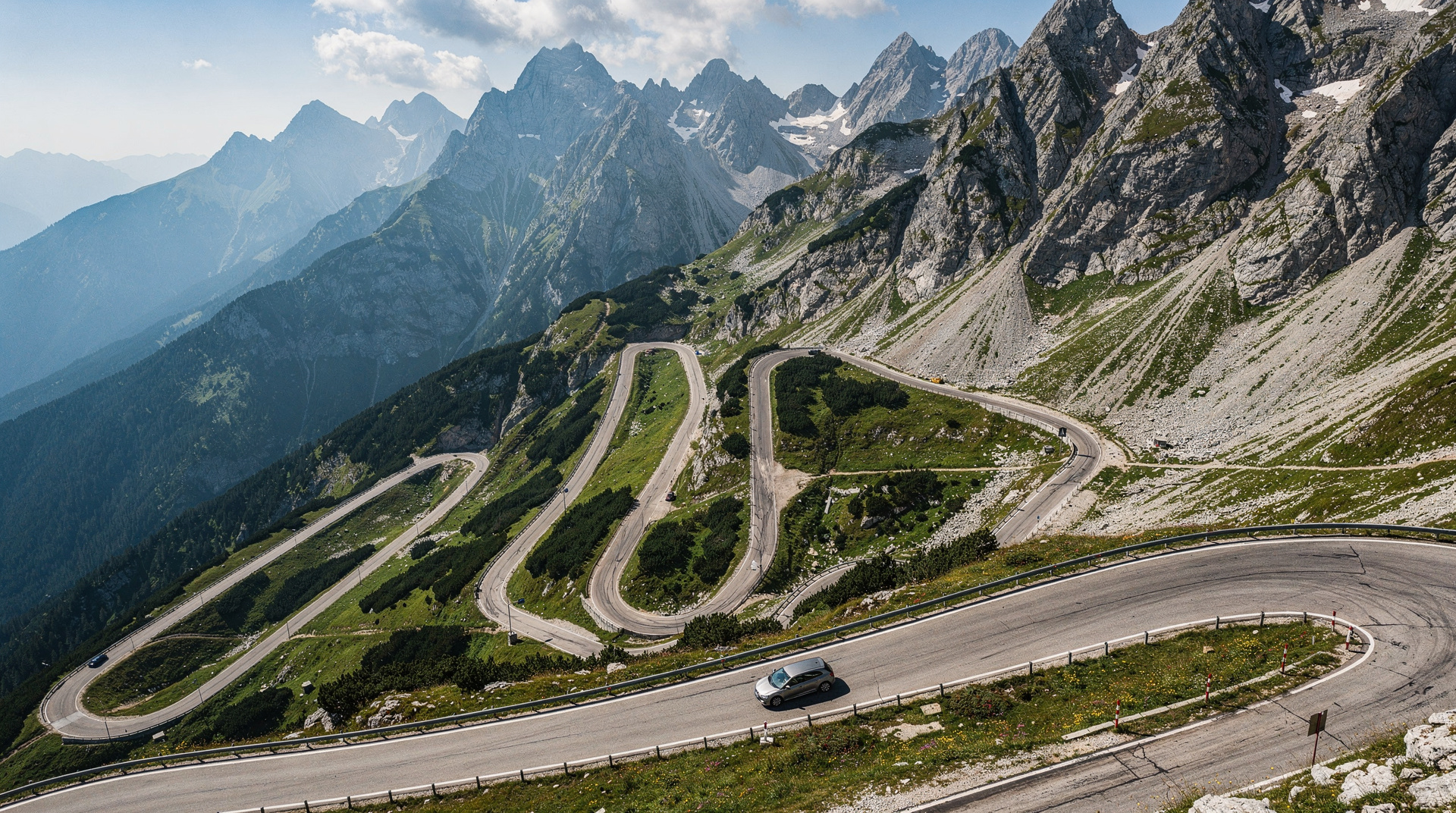
The practical note: getting to the Soča Valley requires more effort than getting to Bled. It is either a 1h45 drive over Vršič Pass (the scenic choice) or a 2h30 drive via the south. Without a car, it requires a guided tour or a combination of buses via Nova Gorica. The additional effort is, consistently, reported as worth it.
The Soča Trail (Pot ob Soči) follows the Soča River for 25 km from its headwaters in Trenta to the town of Bovec. It is, by some margin, the most beautiful river walk in Slovenia — possibly in the entire Eastern Alps. The reason is the water: the Soča runs over white limestone bedrock and carries colour pigments from dissolved minerals that make it shift between turquoise, aquamarine, and emerald depending on the depth and the light. On a sunny morning, the deeper pools look as though someone has poured dye into them.
The trail is part of Triglav National Park for most of its length, well-maintained, and suitable for most fitness levels. Unlike many of the park’s high-altitude routes, it requires no via-ferrata experience and (mostly) no technical footwear. What it does require is a willingness to stop, look, and not rush.
The river and why it’s that colour
The Soča’s turquoise colour comes from a combination of factors: extremely fine-grained limestone sediment suspended in the water, and the reflection of the sky and surrounding rock from the riverbed. The colour is real — photographs are not exaggerated. It varies with the season (spring snowmelt makes it more opaque; late summer makes it clearer and bluer) and with the weather (overcast days mute it; strong sun amplifies it).
The river is fast, cold (8–12°C even in July), and the currents in the main channel are strong enough to be dangerous. The popular “swimming holes” are typically in side pools and eddies where the water is calmer. If you swim, stay away from the main current — the river has a significant volume even in summer, and the current through narrow gorges is powerful.
The full route: Trenta to Bovec
Start: the official start of the trail is at the source of the Soča (Izvir Soče), approximately 8 km south of the Vršič Pass in the Trenta Valley. A short 30-minute trail leads to the cave from which the river emerges, already a startling turquoise. The source is one of the most beautiful spots on the entire route.
Trenta to Soča village (8 km, 2h): the upper section of the trail follows the young river through the narrow Trenta Valley. The river is narrower here, faster, and the canyon sections are the most dramatic. The trail passes the Dom Trenta visitor centre (a useful stop for maps and the park’s geological/cultural exhibits) and several traditional farm buildings.
Soča village area: the village of Soča (not to be confused with the river) is roughly the midpoint of the trail. A wooden bridge crosses the river here, and a short detour leads to the Soča Gorge — a narrow limestone slot where the river is compressed to a few metres width and the water runs through with violent force. This gorge is one of the most photographed spots on the trail; a platform gives a view directly down into the narrows.
Soča village to Bovec (17 km, 4–5h from Trenta): the lower half of the trail broadens as the valley widens toward Bovec. The river spreads across a wider floodplain, and some of the best swimming spots are in this section — particularly around the Nadiža confluence and the area just west of Čezsoča. The trail passes farms, fishing stations, and a series of information boards about the First World War battles fought along this valley (the Isonzo Front, 1915–1917).
End at Bovec: the trail officially ends at the western edge of Bovec. The town centre is 1 km further.
Best sections if you can’t do the full 25 km
Source to the Trenta Valley floor (30 min each way): if you’re driving over Vršič Pass and have limited time, the walk from the source car park to the Izvir Soče and back is the single most impressive stretch of the trail per unit of effort.
Soča Gorge section (2h–3h round trip from Soča village): the Soča Gorge and the pools around it are the trail’s visual highlight — worth doing even if you don’t have time for the full route. Park at the village and walk the gorge section in both directions.
Čezsoča to Bovec (5 km, 1.5h one-way): the most accessible section for those based in Bovec. The trail from Čezsoča to the town follows the river through its broadest and most swimming-friendly section. Several emerald pools are accessible directly from the trail. Take a bus or taxi to Čezsoča and walk back to Bovec.
Swimming in the Soča
People swim in the Soča throughout summer, and the water quality is excellent (some of the cleanest river water in Europe, by monitored standards). But three honest warnings:
- The water is cold — 8–12°C. Not immediately uncomfortable if you’re heat-adapted, but cold enough to cause cramps if you stay in for long periods.
- The current in the main channel is dangerous. Stick to side pools, eddies, and designated swimming spots with calm water.
- The riverbed and rocks are extremely slippery when wet. Enter and exit the water carefully, wearing shoes or water shoes.
The best swimming spots on the trail (safe, accessible, deep enough) are at the Tolmin Gorge entrance further downstream (outside the Triglav NP section), at the Nadiža-Soča confluence, and at several pools on the Čezsoča-Bovec section. Ask locally for current recommendations — pools change year to year with flood conditions.
The Soča Valley in context
The Soča Valley’s name refers to the river, but geographically the term covers the area from the headwaters in Trenta to the confluence with the Idrijca at Most na Soči — approximately 90 km of river in Slovenia. The valley includes three distinct zones:
Upper Soča / Trenta Valley: from the source to Bovec, 25 km. The wildest section — narrowest valley, deepest gorges, fewest inhabitants. This is the section covered by the full Soča Trail. Triglav National Park protection applies throughout.
Middle Soča / Bovec–Kobarid: 20 km between the two main valley towns. The river broadens, the valley widens, and the First World War heritage is most dense. The main rafting and kayaking zone. The Kobarid War Museum is here.
Lower Soča / Kobarid–Most na Soči: 45 km to the confluence. The river has left the national park and enters more agricultural land. The Tolmin Gorge near Most na Soči is the notable natural attraction in this section.
The Soča Trail covers the upper section only. For the full valley experience, the Kobarid area adds historical depth that the trail does not provide.
How to get there
The Soča Valley (Bovec end) is accessible from the north via Vršič Pass and from the south via the road through the Baška Grapa Valley from Most na Soči. From Bled to Bovec: 1h45 by car via Vršič (longer but more scenic) or 2h30 via the southern route.
Without a car: there is no direct bus from Ljubljana to Bovec, but a connecting service runs from Ljubljana via Nova Gorica and Tolmin to Bovec (approximately 3h). From Bled, there is no direct public bus — a guided tour is the practical option.
Julian Alps and Trenta Valley tours from Bled include the Trenta side and often the source of the Soča and the upper trail. For those combining the Soča Valley with Kranjska Gora and the north side of the Alps in a single day, the Best of Julian Alps tour via Kranjska Gora provides a good cross-section.
Combining with adventure activities in Bovec
Bovec is Slovenia’s main centre for white-water sports — rafting and kayaking on the Soča operate from May to September. The river that you walk alongside on the trail is the same river that the rafts descend. If you’re combining the Soča Trail with outdoor activities, Bovec makes a logical base: walk the trail in the morning, raft in the afternoon. Adventure operators in Bovec offer half-day rafting from EUR 45 per person.
The Mangart Saddle is 12 km from Bovec and makes an excellent full-morning addition before the afternoon trail walk. See the Mangart Saddle guide.
Practical notes
- The trail is marked throughout with red-and-white Slovenian trail signs and wooden information boards at key points
- Most sections of the trail are accessible in normal walking shoes; the rocky sections around the Soča Gorge benefit from hiking boots
- Mountain bikes are permitted on sections of the lower trail; check current rules locally
- The trail is within the national park — no camping, no fires, leave no trace
- The trail floods in severe spring thaw and after heavy rain; check conditions if visiting in April–May after significant precipitation
- Fishing is strictly regulated on the Soča (the river is famous for its trout and huchen); fishing permits required, available from local providers in Bovec
The history along the trail: the Isonzo Front
The Soča Valley was the front line of the Isonzo campaign during the First World War — twelve major battles between the Italian and Austro-Hungarian armies between 1915 and 1917, resulting in approximately 300,000 dead on both sides. The river itself was the boundary: Italian forces attacked from the west, Austro-Hungarian forces defended from the east.
The Soča Trail passes through this battlefield landscape. Information boards at regular intervals explain the military engineering, the position of the front lines, and the human cost of the campaign. Near Kobarid, the Kobariški muzej (Kobarid War Museum) — one of the best museum presentations of the First World War in Europe, winner of the Council of Europe Museum Prize — tells the story comprehensively. It is 30 km south of Bovec and worth a half-day.
The gorge sections of the Soča Trail cross at points where wartime crossings were made by both armies. Looking at the river from the trail, understanding what it meant to cross it under fire, adds a dimension to the scenery that the straightforward natural beauty doesn’t fully convey.
The fishing culture of the Soča
The Soča is one of the most famous fly-fishing rivers in the world. The Soča marble trout (Salmo marmoratus) is an endemic species found only in the Soča and a few of its tributaries — a large, spotted trout with an unmistakable marbled pattern that can grow to 80 cm and 10 kg. The species nearly disappeared in the 20th century due to hybridisation with introduced brown trout; conservation programmes since the 1990s have stabilised the population.
Walking along the trail, you will see anglers standing in the shallows, casting upstream into the pools. The fishing is strictly regulated: catch-and-release is mandatory in many sections, daily permits cost EUR 30–80 depending on the section, and a Slovenian fishing licence is required. The Fishing Association of Slovenia issues permits via local clubs, and Bovec has a fishing shop (Katušin ribolov) that handles permits and equipment hire.
Even without fishing, watching the technique — the long, graceful casts into the emerald pools from the bank — is part of the aesthetic experience of the trail.
The Tolmin Gorge: extending the Soča Trail south
Below Bovec, the Soča continues 40 km further south to the town of Tolmin, where it joins the Idrijca River. The Tolmin Gorge (Tolminska Korita), 3 km south of Tolmin, is a narrower and deeper slot canyon than the gorge sections of the main Soča Trail — admission charged (EUR 5), narrow boardwalk, extraordinary limestone sculpture. It makes a logical extension to a Soča Valley visit and is accessible by local bus from Tolmin.
Further south still, the Most na Soči reservoir and the town of Most na Soči are the southern gateway to the valley. The Tolmin region has its own character — warmer, less alpine, more Mediterranean — that reflects the valley’s role as the transition zone between the Alps and the Adriatic.
Kayaking alongside the trail
The Soča is divided into sections rated for white-water kayaking from Grade 2 (accessible to beginners with instruction) to Grade 4 (serious white-water requiring experience). The sections through the gorges upstream of Bovec are Grade 4–5 and are for experienced paddlers only. The sections between Bovec and Kobarid are mostly Grade 2–3 and are the basis for most commercial rafting operations.
Walking the trail alongside the river and watching kayakers and rafts negotiate the rapids adds another dimension to the experience — the river is an active, contested environment, not just a scenic backdrop. Several sections of the trail have viewing platforms directly above popular rapid lines.
For the broader Soča Valley context, see Soča Valley and Bovec. For the Vršič Pass approach from the north, see the Vršič Pass driving guide. For a ranked comparison against other great Slovenian hikes, see best hikes in Slovenia.
Planning your time on the trail
Most visitors do not walk the full 25 km, and that is the right call for most trip lengths. A realistic half-day plan: drive over Vršič Pass from Kranjska Gora, stop at the Soča source for the short walk, continue to Soča village for the gorge section, then finish in Bovec with lunch and, if time allows, an afternoon rafting or snorkeling session on the same river you just walked beside. This combination — source, gorge, and a river activity — captures the trail’s highlights without needing the full day the complete route requires.
If you are staying multiple nights in the Soča Valley, walking a different section each day (source-to-Trenta one morning, Čezsoča-to-Bovec another) spreads the experience out and pairs naturally with rafting or gorge snorkeling in the afternoons.
Frequently asked questions about Soča Trail hike
Do I need hiking boots for the Soča Trail?
Normal walking shoes are fine for most of the trail. Hiking boots or shoes with better grip are worth it for the rocky sections around the Soča Gorge, where the ground is uneven and can be slippery near the water. Trainers are adequate for the flatter Cezsoca-to-Bovec stretch.Is the Soča Trail suitable for children or families?
Yes, in sections. The short walks to the Soča source (30 minutes each way) and the Cezsoca-to-Bovec stretch (5 km, mostly flat) work well for families. The full 25 km route is long for young children; pick a shorter section instead, particularly one that includes a swimming spot as a reward.
Top experiences
Bookable activities with verified prices and instant confirmation on GetYourGuide.